Log in
All resources
Create a design
33,382 Free Images of 1592 Maps
maps in london labour and the london poor (1851)
atlante veneto (raremaps.com) volume 2
maps in the library of congress
mitchell's school atlas
geographical illustrations by coronelli
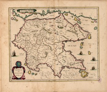
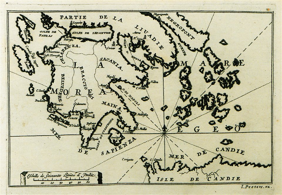
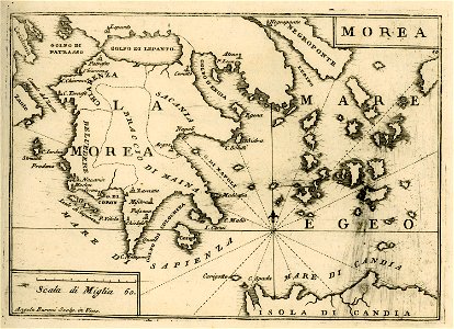
old maps of the peloponnese
atlas schoemaker
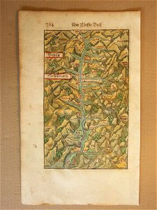
cosmographia (1600) by sebastian münster
atlas de wit 1698
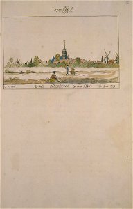
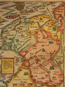
atlas schoemaker-overijssel
atlante veneto (raremaps.com) volume 2
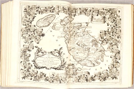
old maps of malta
atlante veneto (raremaps.com) volume 2
old maps of italy
atlante veneto (raremaps.com) volume 2
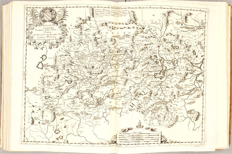
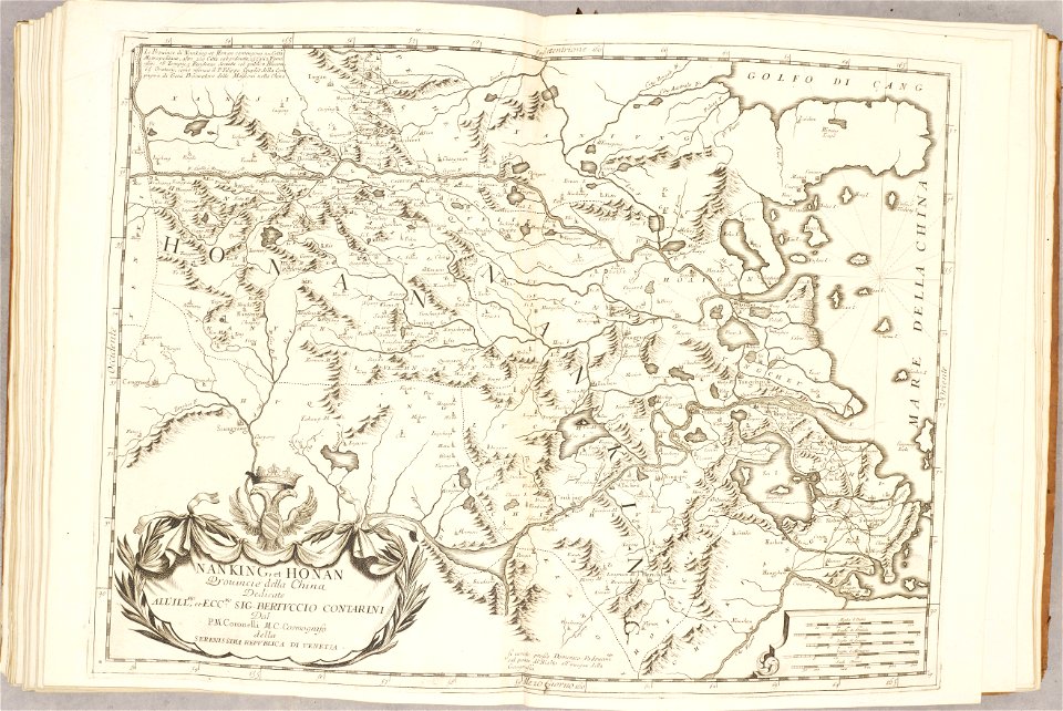
old maps of china
atlante veneto (raremaps.com) volume 2
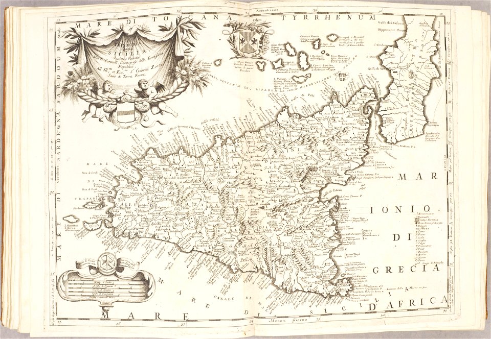
old maps of sicily
atlante veneto (raremaps.com) volume 2
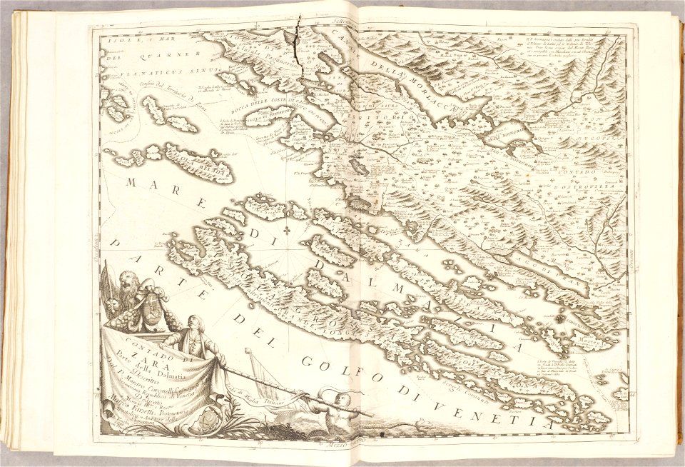
old maps of croatia
atlante veneto (raremaps.com) volume 2
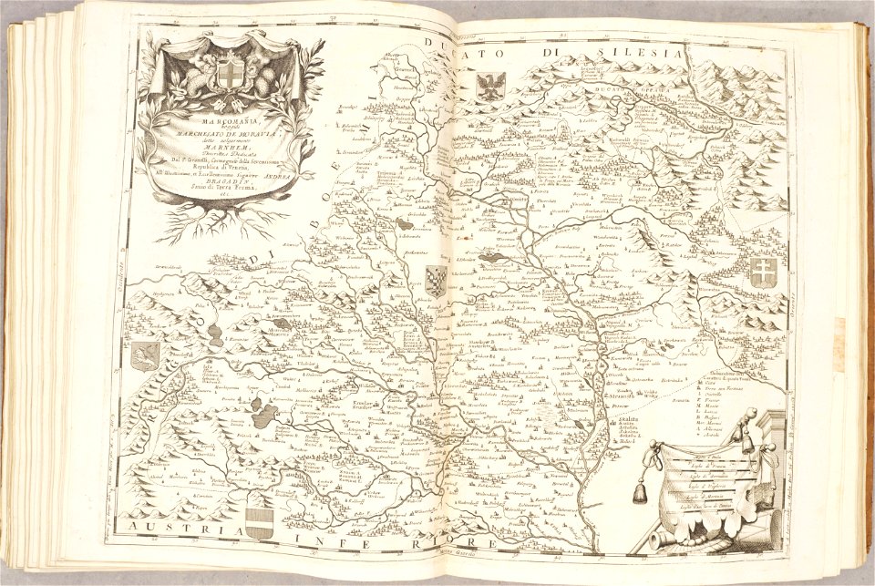
old maps of moravia
atlante veneto (raremaps.com) volume 2
old maps of china
atlante veneto (raremaps.com) volume 2
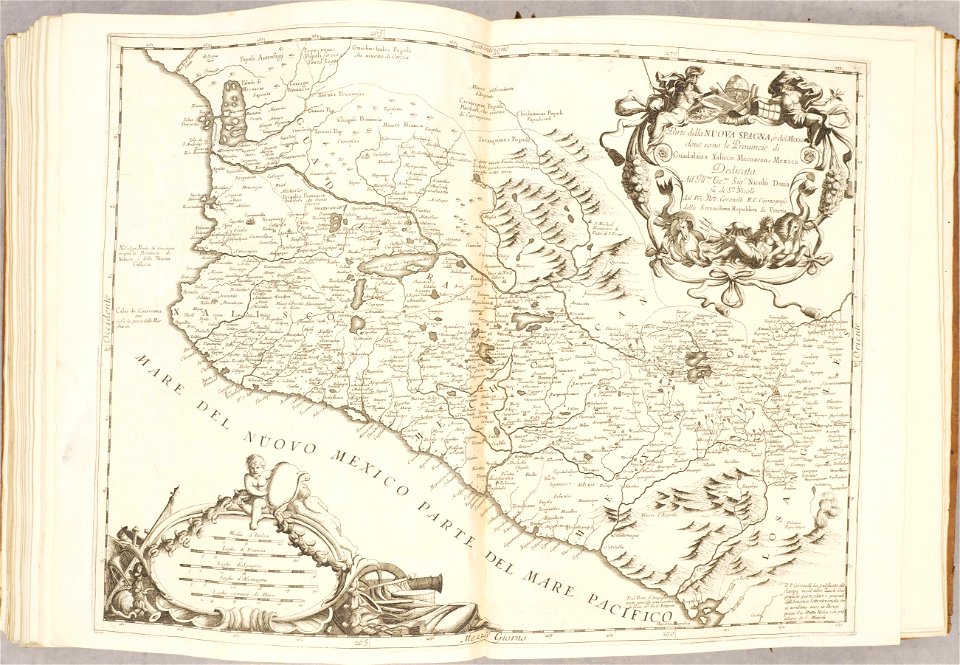
old maps of mexico
geographical illustrations by coronelli
old maps of the peloponnese
old maps of gelre (geldern)
atlas de wit 1698
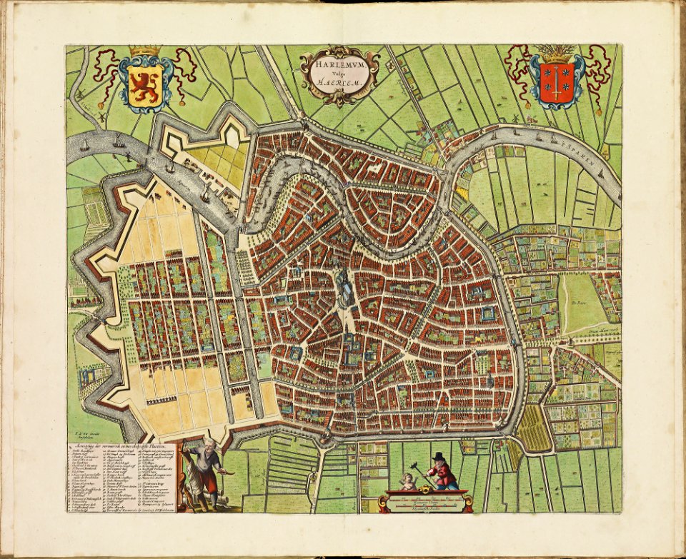
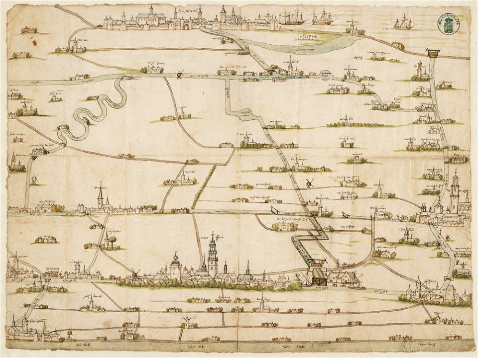
old maps of haarlem
atlas de wit 1698
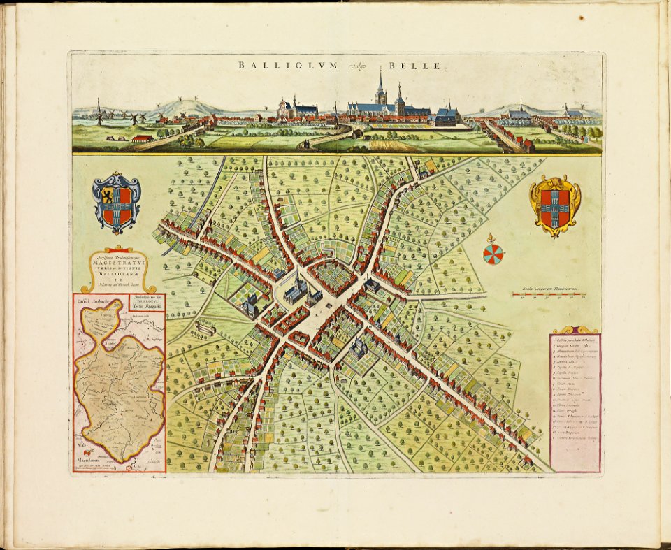
old maps of bailleul (nord)
atlas de wit 1698
copper engraving
gerard valck
atlas schoemaker-overijssel
atlas schoemaker
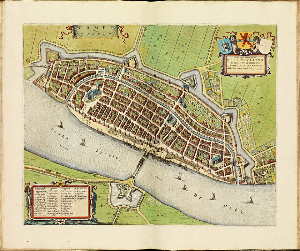
old maps of deventer
atlas schoemaker
atlas schoemaker-overijssel
atlas schoemaker
atlas schoemaker-noord-holland
atlas schoemaker
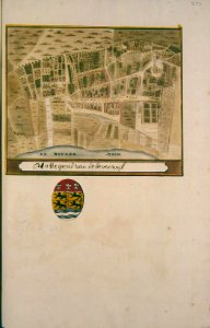
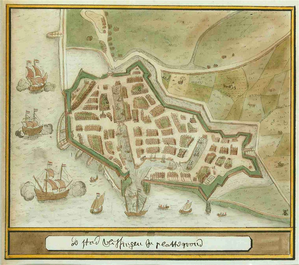
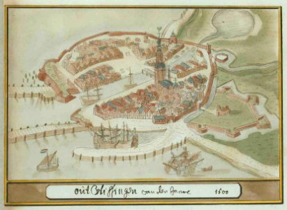
atlas schoemaker-zeeland
atlas schoemaker
atlas schoemaker-zeeland
atlas schoemaker
atlas schoemaker-zuid-holland
atlas schoemaker
atlas schoemaker-overijssel
atlas schoemaker
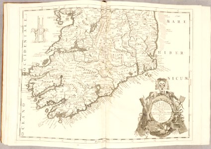
atlante veneto (raremaps.com) volume 2
old maps of ireland
atlante veneto (raremaps.com) volume 2
1690s maps of liguria
atlante veneto (raremaps.com) volume 1
1690s maps of asia
atlante veneto (raremaps.com) volume 1
1690s maps of africa
atlante veneto (raremaps.com) volume 2
old maps of china
atlante veneto (raremaps.com) volume 2
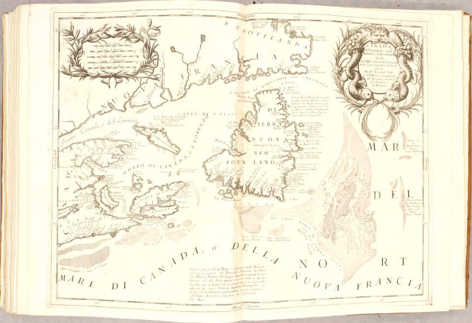
old maps of canada
spanjaardenkasteel
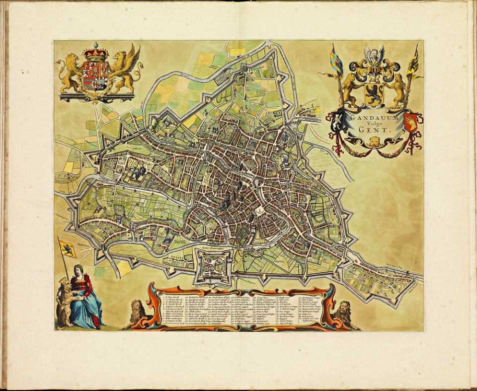
atlas de wit 1698
atlas de wit 1698
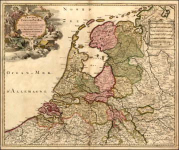
netherlands
description des principales villes (1690)
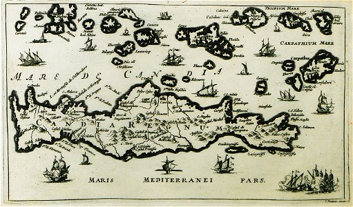
old maps of crete
description des principales villes (1690)
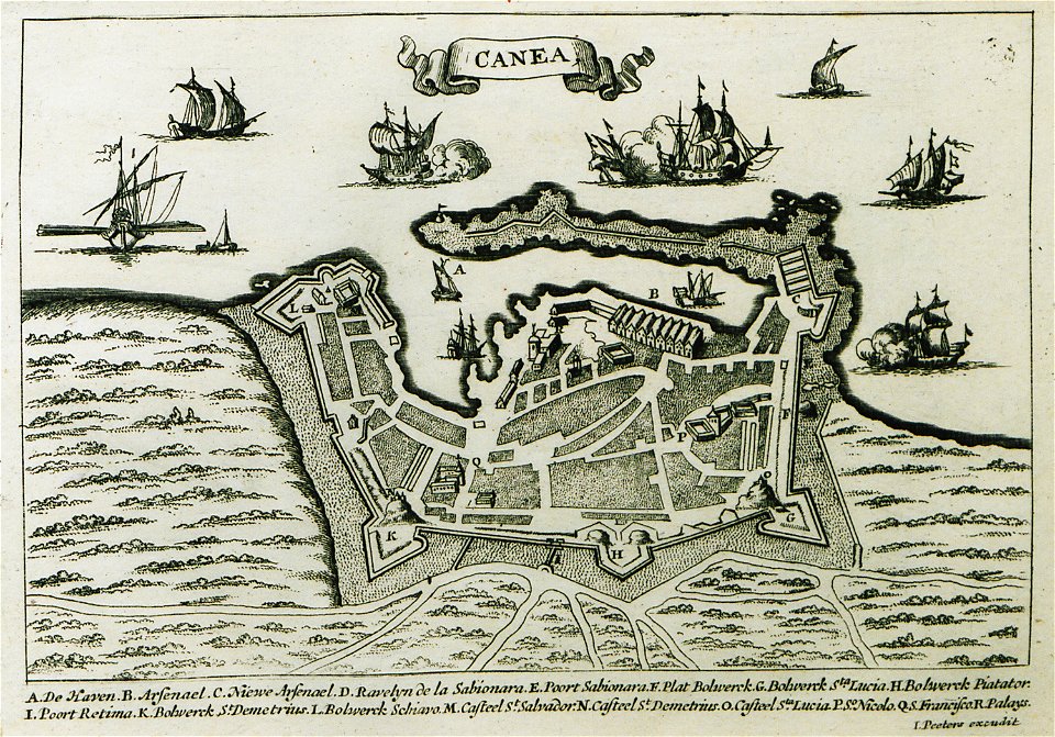
old maps of chania
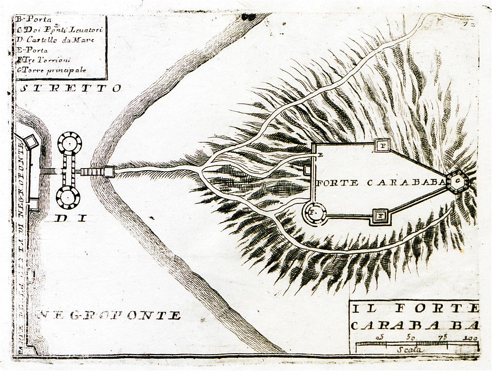
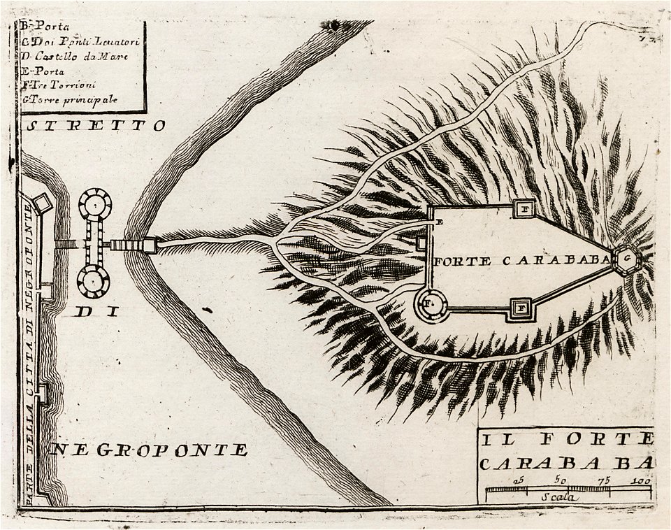
geographical illustrations by coronelli
old maps of the peloponnese
geographical illustrations by coronelli
old maps of the peloponnese
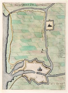
old maps of lower saxony
greetsiel
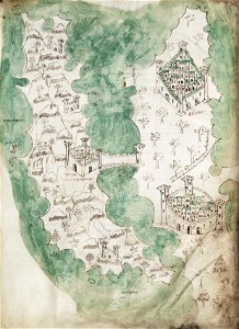
liber insularum archipelagi (royal museums greenwich)
maps of euboea
copper engraving
morea
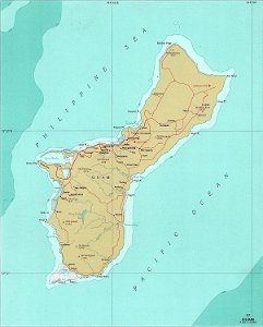
national atlas of the united states
maps of guam
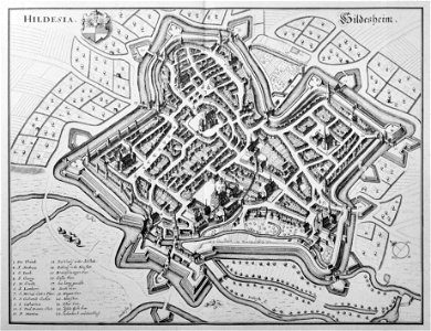
engravings of topographia saxoniae inferioris
old maps of hildesheim
hiram m. chittenden locks maps and diagrams
ballard locks
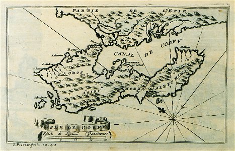
description des principales villes (1690)
old maps of corfu
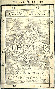
provided by landsbókasafn íslands
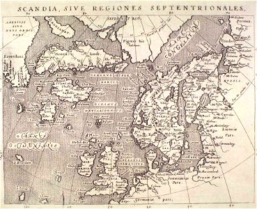
16th-century maps of iceland
provided by landsbókasafn íslands
16th-century maps of iceland
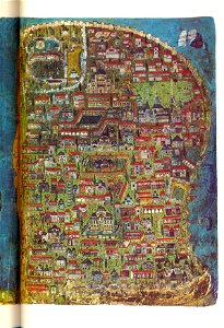
illuminated manuscripts in istanbul university
old maps of istanbul
provided by landsbókasafn íslands
maps by giovanni antonio magini
illuminated manuscripts in istanbul university
old maps of istanbul
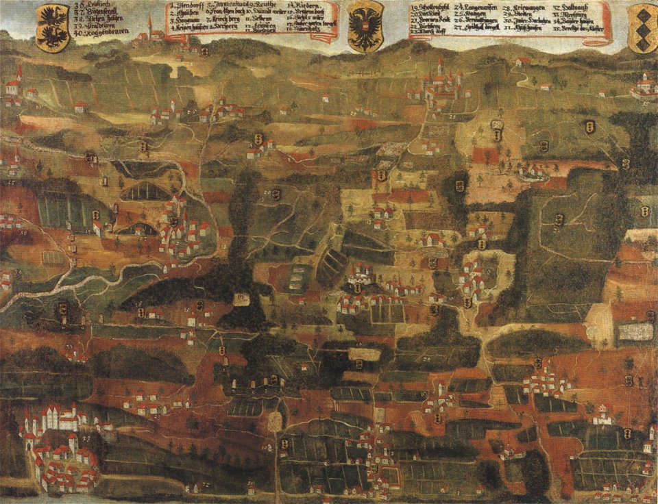
1660s maps of baden-württemberg
ittendorf
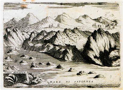
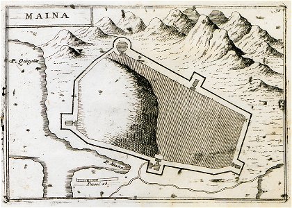
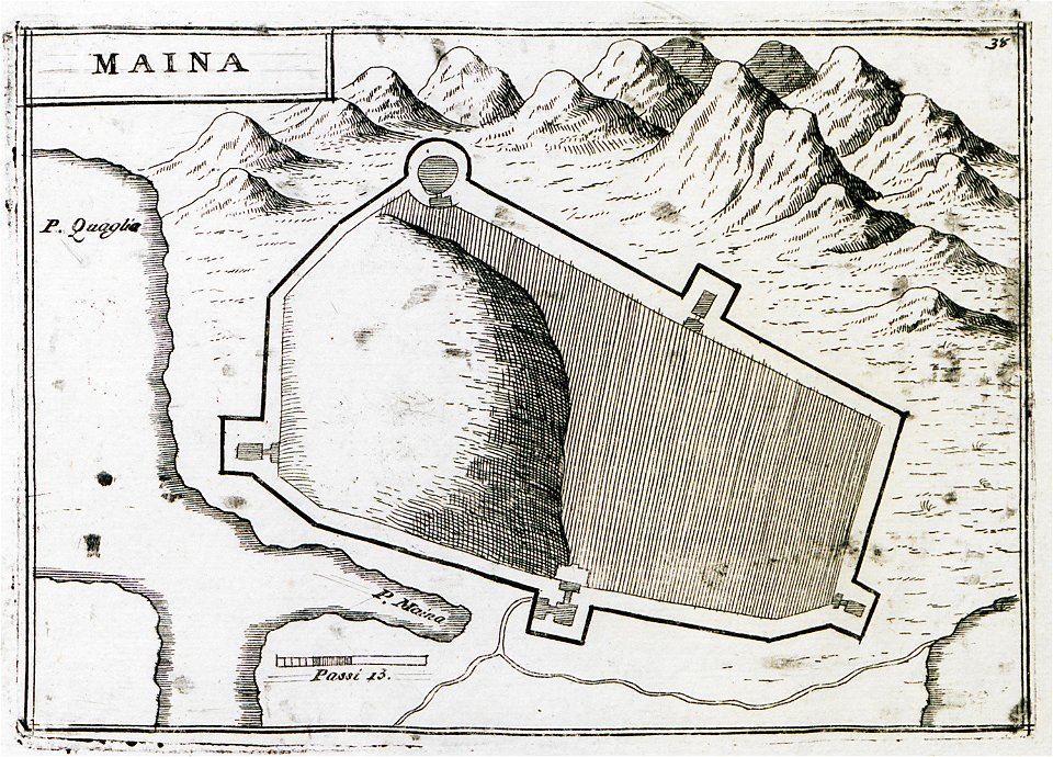
geographical illustrations by coronelli
old maps of the peloponnese
geographical illustrations by coronelli
old maps of the peloponnese
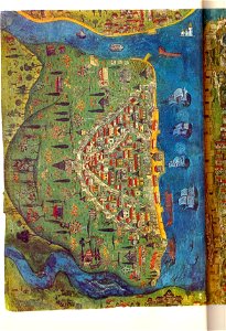
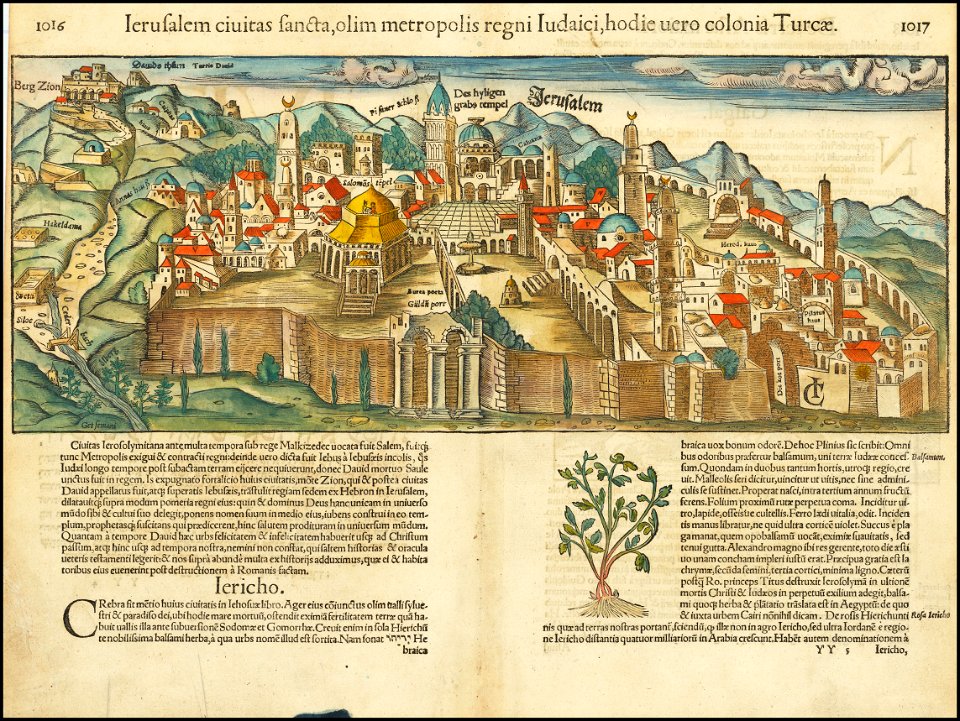
jerusalem in the 16th century
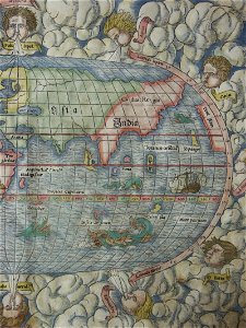
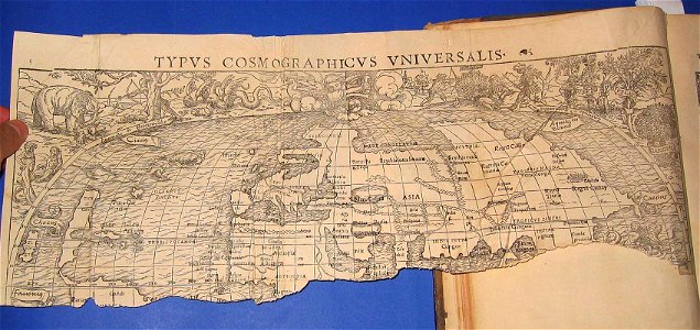
maps by sebastian münster
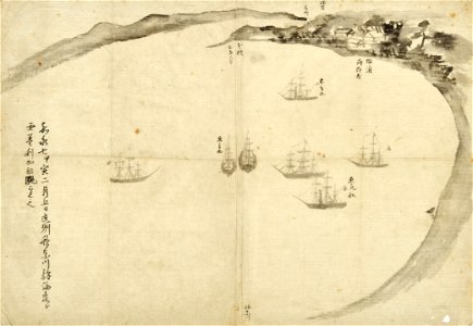
old maps of japan
perry expedition
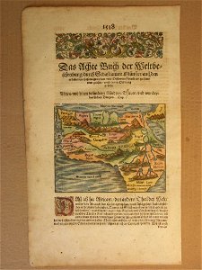
cosmographia (1600) by sebastian münster
old maps of moscow
cosmographia (1600) by sebastian münster
old maps of moscow
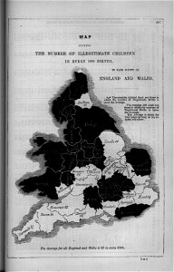
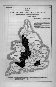
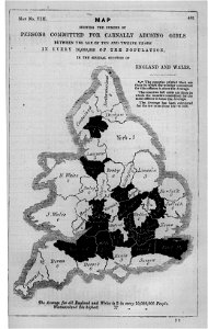
maps in london labour and the london poor (1851)
illustrations of cosmographia (münster)
old maps of the world
cosmographia (1600) by sebastian münster
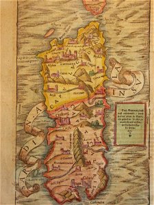
old maps of sardinia
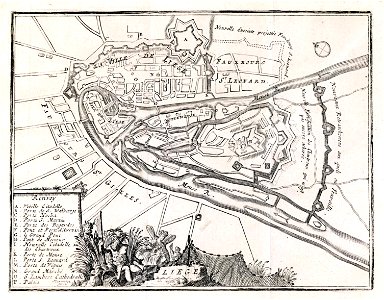
maps of liège in the 18th century
jacobus harrewijn
maps in london labour and the london poor (1851)
maps in london labour and the london poor (1851)
maps in london labour and the london poor (1851)
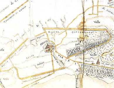
historical images of cervia
old maps of emilia-romagna
el-lahun
meidum
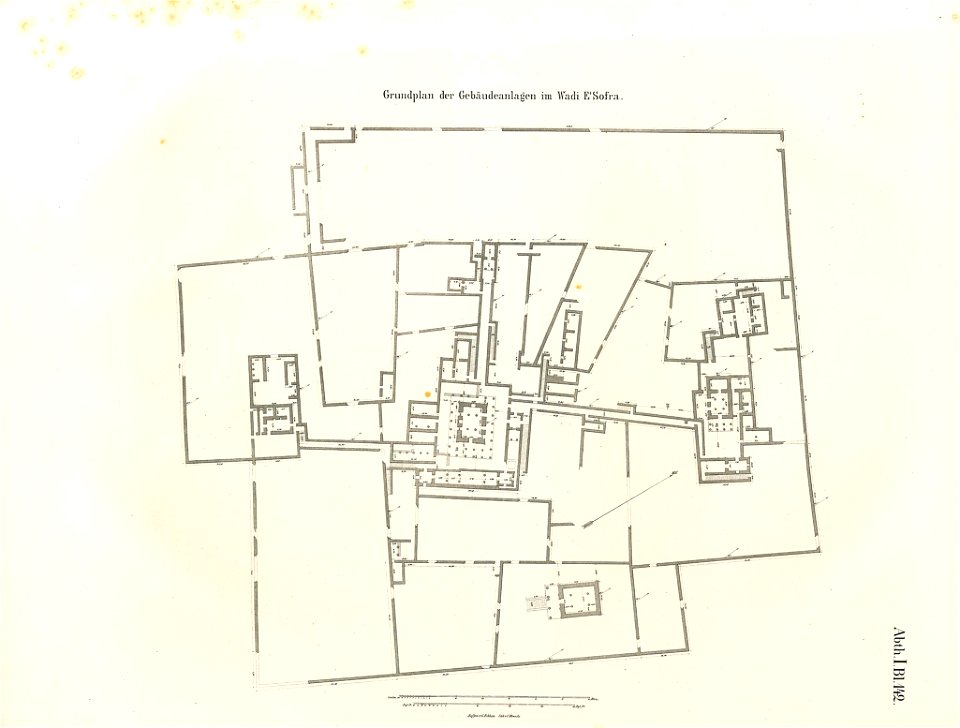
lepsius-projekt - temples
lepsius-projekt - maps
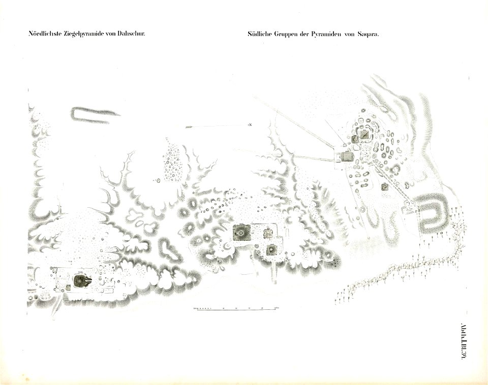
saqqara pyramids
dahshur
lepsius-projekt - temples
lepsius-projekt - maps
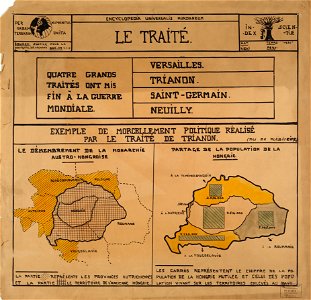
encyclopaedia universalis mundaneum
maps of the treaty of trianon
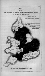
maps in london labour and the london poor (1851)
illustrations of cosmographia (münster)
old maps of the world
itinerarium hierosolymitanum et syriacum..., 1619
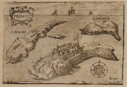
maps of isole tremiti
maps in london labour and the london poor (1851)
maps in london labour and the london poor (1851)
maps in london labour and the london poor (1851)
maps in london labour and the london poor (1851)
illustrations of cosmographia (münster)
old maps of the world
cosmographia (1600) by sebastian münster
old maps of switzerland
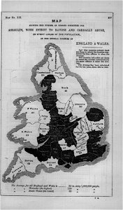
maps in london labour and the london poor (1851)
cosmographia (1600) by sebastian münster
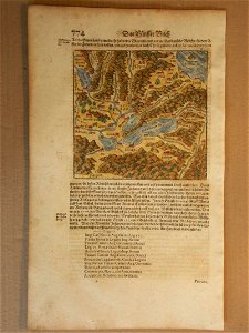
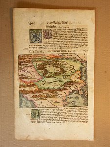
1600 maps of transylvania
maps in london labour and the london poor (1851)
maps in london labour and the london poor (1851)
cosmographia (1600) by sebastian münster
old maps of switzerland
maps in london labour and the london poor (1851)
maps in london labour and the london poor (1851)
maps in london labour and the london poor (1851)
drawings in the stadsarchief amsterdam
old maps of amsterdam
description des principales villes (1690)
old maps of greece
geographical illustrations by coronelli
old maps of the peloponnese
cosmographia (1600) by sebastian münster
old maps of friesland
cosmographia (1600) by sebastian münster
1600s maps of africa
geographical illustrations by coronelli
old maps of the peloponnese
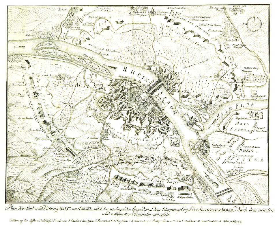
mainz in the 18th century
historical maps of mainz
geographical illustrations by coronelli
old maps of the peloponnese
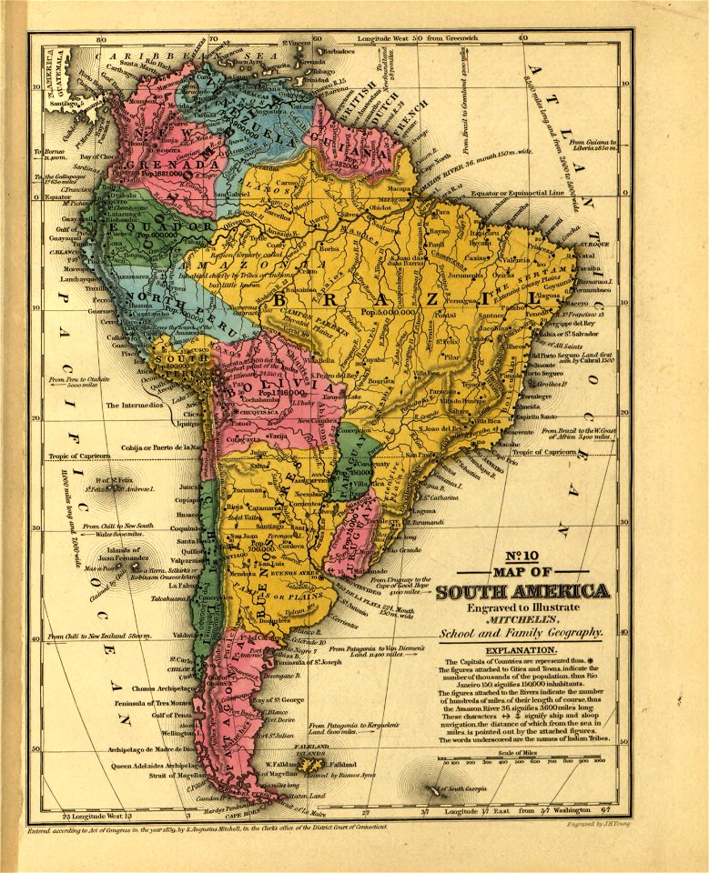
maps in the library of congress
mitchell's school atlas
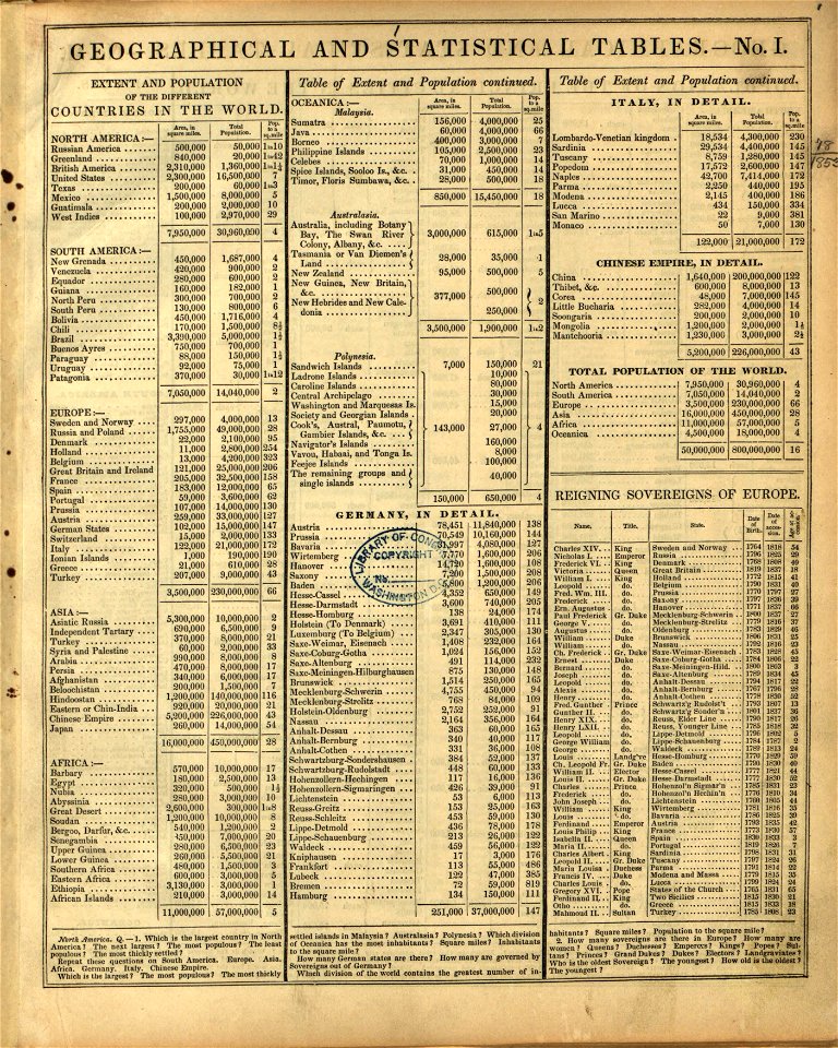
maps in the library of congress
mitchell's school atlas
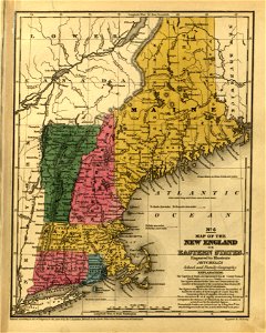
maps in the library of congress
mitchell's school atlas
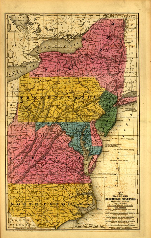
maps in the library of congress
mitchell's school atlas
maps in the library of congress
mitchell's school atlas
maps in the library of congress
mitchell's school atlas
maps in the library of congress
mitchell's school atlas
maps in the library of congress
mitchell's school atlas
maps in the library of congress
mitchell's school atlas
maps in the library of congress
mitchell's school atlas
7101 - 7200 of 33,382
Next page
/ 334